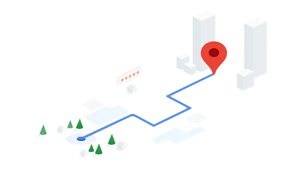
Birla Evara Direction shows the way to reach the project easily from different parts of Bangalore. It is located on Sarjapur Road, East Bangalore. The project is well connected by roads, buses, and the metro.
The area offers easy access to key areas such as Electronic City, Whitefield, Koramangala, and Outer Ring Road. The locality is also close to major IT hubs, tech parks, and industrial sectors, making it a popular choice for professionals. Here are the directions to other parts of the city to Birla Evara:
From Bangalore City Center
Take S2 Avanthika Rd and B Hosahalli Rd/Gopasandra Sarjapura Rd to Ambalipura – Sarjapur Rd/Sarjapur – Marathahalli Rd/Varthur – Sarjapur Rd in Bengaluru – 5 min (1.3 km)
Follow Ambalipura – Sarjapur Rd/Sarjapur – Marathahalli Rd to Kodathi Village Rd – 16 min (7.3 km)
Continue on Kodathi Village Rd. Drive to Gopalakrishna Adiga Rd in Chikkakannalli.
From Kempegowda International Airport
Get on NH 44 in Yerthiganahalli from Terminal Blvd – 6 min (5.7 km)
Follow NH 44 to Kaverappa Layout, Bengaluru – 1 hr 1 min (39.9 km)
Take Doddakannelli – Kaadubeesanahalli Rd, Doddakannelli-Chikkanayakana Halli Rd and Gatthalli Rd to Gopalakrishna Adiga Rd in Chikkakannalli
From Carmelram Railway Station
Head west on Railway Station road toward Gunjur Rd/Gunjur-Doddakannelli Rd – 6 sec (18 m)
Take Ambalipura – Sarjapur Rd/Sarjapur – Marathahalli Rd to Ahad Euphoria Rd in Hadosiddapura – 5 min (1.6 km)
Continue on Ahad Euphoria Rd. Drive to Gopalakrishna Adiga Rd
From Koramangala
Take 8th Main Rd and 1st Main Rd to NH 44 in Jakkasandra Extension – 7 min (2.1 km)
Continue on NH 44. Take Ambalipura – Sarjapur Rd/Sarjapur – Marathahalli Rd to Gopalakrishna Adiga Rd in Chikkakannalli – 27 min (10.1 km)
Turn left onto Gopalakrishna Adiga Road
The upcoming metro connectivity to Sarjapur Road is part of Bengaluru Metro’s Phase 3A project, which will improve the connectivity of the locality. It enables metro access by connecting Sarjapur to Hebbal, spanning approximately 36.59 km with 28 stations. The line will feature both elevated and underground sections, enhancing connectivity to key areas like Carmelaram, Agara, Koramangala, Dairy Circle, and Town Hall.
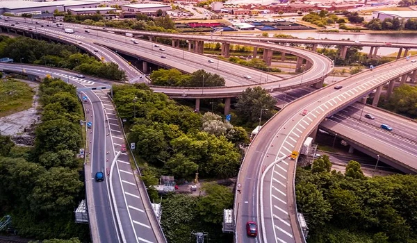
The project location is closely connected to major roads like Outer Ring Road, Hosur Road, SH-35, Harlur Road, and Kodathi Road. Residents can have a smooth travel from this project location. It is a great choice for residents who wish to have easy connectivity through all modes of transportation.